Exuma Cays Land & Sea Park boundaries: corner coordinates and area
The four corner coordinates of the Exuma Cays Land & Sea Park from the Bahamas National Trust, the park's size, and which cays fall inside the boundary.
Four corner coordinates mark the Exuma Cays Land & Sea Park, from 24°14′25″N in the south to 24°35′30″N in the north1. The park covers 112,640 acres of land and sea, which is 176 square miles1. The no-take rules apply everywhere inside that boundary4.
- At a glance
- NW corner
- 24°30′37″N 76°52′37″W1
- NE corner
- 24°35′30″N 76°45′50″W1
- SW corner
- 24°14′25″N 76°36′02″W1
- SE corner
- 24°18′37″N 76°28′47″W1
- Area
- 112,640 acres, or 176 sq mi1
- Inside the boundary
- No-take zone4
On this page
Places on this map
Inside the park outline: Warderick Wells, Shroud Cay, Bell Island, Hawksbill Cay, Cambridge Cay.
Outside the park outline: Compass Cay, Exuma International Airport, George Town, Bahamas, Big Major Cay (Pig Beach), Allen's Cay, Thunderball Grotto, Staniel Cay, Stocking Island, Norman's Cay, Little Farmer's Cay, Lee Stocking Island, Musha Cay, George Town, Great Exuma.
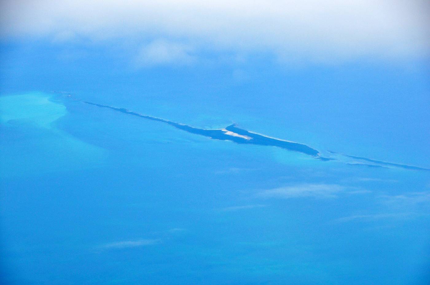
Anyone planning a route through the Exumas needs to know where the park starts and stops, because the rules change at the line: fees, moorings, anchoring limits and the no-take zone all apply inside it. The Exuma Cays Land & Sea Park hub links every guide on those rules. The Bahamas National Trust publishes the boundary as four corner coordinates, set out below.
Corner coordinates
The boundary is set out in degrees, minutes and seconds1. The decimal columns below are our conversion of those values, for chartplotters that take decimal degrees.
| Corner | Latitude (N) | Longitude (W) | Decimal degrees |
|---|---|---|---|
| NW | 24°30′37″ | 76°52′37″ | 24.5103, -76.87691 |
| NE | 24°35′30″ | 76°45′50″ | 24.5917, -76.76391 |
| SW | 24°14′25″ | 76°36′02″ | 24.2403, -76.60061 |
| SE | 24°18′37″ | 76°28′47″ | 24.3103, -76.47971 |
The two northern corners lie farther west than the two southern ones, so the park is a long block running northwest to southeast1. Enter them as waypoints, then check them against current charts and any marks you see on the water. Join the corners in the order NW, NE, SE, SW to close the outline. Latitude is north and longitude is west for every corner, so make sure your plotter is set to W before you type the longitudes, or the waypoints will land in the wrong hemisphere.
How big is the park
The park covers 112,640 acres of land and sea1. That is 176 square miles1, since an acre is 1/640 of a square mile and 112,640 divided by 640 is 176.
The area inside the boundary includes reefs, mangroves and seagrass beds3. The boundary takes in land and sea together, so the rules covered below apply on the water as well as on the cays1.
Which cays are inside
The park does not take in every cay between Nassau and George Town. A US National Park Service survey report from the 1950s describes the park area as those cays from Shroud Cay to Bell Island, except cays already under lease or privately owned2. That report is a historical document, so read it for the park’s original shape, not as the current legal boundary.
The same report names the major cays in the park area as Shroud, Hawksbill, Cistern, Warderick Wells, Hall’s Pond, O’Brien’s, Bell Island and Little Bell2. Shroud Cay is the northern landmark and Bell Island the southern one2.
For a single cay, check its own page. Warderick Wells holds the park headquarters, and our Shroud Cay guide covers the northern end.
What changes at the line
Inside the boundary the park rules apply. The park is a no-take zone: no fishing, conching, shelling or lobstering, and nothing living or dead may be removed from within the boundaries of Exuma Park4. There are fines and confiscation of vessels for poaching violations4. Anchoring is not permitted in the mooring fields, on coral reefs and certain other designated areas4.
Rates for moorings and anchoring are in the park fees and mooring fees guide. All vessels, dinghies and jet skis included, must run at idle speed in any mooring field or anchorage4. Jet skis must stay at least 300 yards off any moored or anchored vessel4. On the northern cays, the north tidal creek on Shroud Cay is a strict idle speed, no-wake zone4. Trash disposal is not available inside the park, so take out everything you bring in4.
Read the full set in the park rules guide and the no-take zone guide before you cross into the park.
Using the coordinates
Treat the four corners as a quick check, not as a replacement for a chart. Enter all four as waypoints, draw the outline on your plotter, and plan your nights with the line in view.
If you are unsure whether a spot is inside, call the park office: hail “Exuma Park” on VHF channel 091. The office is on a remote small island, so contact can sometimes be challenging1. For the park’s origins and why it exists, see what the Exuma Cays Land and Sea Park is.
Read next
What is the Exuma Cays Land & Sea Park? Size, rules and who runs it
The Exuma Cays Land & Sea Park explained: when it was founded, how big it is, who runs it, what it protects and what boaters and day-trippers need to know.
parkExuma Park no-take zone: what it bans, why it exists and how to report poaching
Fishing, conching, shelling and lobstering are banned in Exuma Cays Land & Sea Park. What the no-take rule covers, the penalties, and how to report poaching.
parkWarderick Wells: Exuma Park headquarters, office hours and VHF contact
Where the Exuma Cays Land & Sea Park headquarters sits on Warderick Wells, who is stationed there, how to reach the office on VHF 09, and what to do ashore.
Questions people ask
What are the boundaries of the Exuma Cays Land and Sea Park?
The park has four corners: NW 24°30′37″N 76°52′37″W, NE 24°35′30″N 76°45′50″W, SW 24°14′25″N 76°36′02″W and SE 24°18′37″N 76°28′47″W1. Join them in the order NW, NE, SE, SW to draw the park.
How big is the Exuma Cays Land and Sea Park?
It covers 112,640 acres of land and sea, which is 176 square miles1.
Sources (4)
- Exuma Cays Land & Sea Park (BNT park page)BNT
Bahamas National Trust · bnt.bs · checked 2026-10-18 - Exuma Cays Park: survey report (NPS history publication)
US National Park Service · npshistory.com · checked 2026-10-18 - 6 Things You Need to Know about the Exuma Cays Land and Sea ParkBNT
Bahamas National Trust · bnt.bs · checked 2026-10-18 - Exuma Cays Land and Sea Park Rules (PDF)BNT
Bahamas National Trust · bnt.bs · checked 2026-10-18
Photo credits (1)
- James St. John / Wikimedia Commons · CC BY 2.0 · source
.jpg)
Park fees and rules come from the Bahamas National Trust or the Bahamas government; check them again before you go. How we check facts.