Exuma Bank vs Exuma Sound: choosing your side of the chain
The Exuma Bank is shallow and tidal, Exuma Sound is deep ocean. How depth, tide and swell decide which side to run, and which park rules apply on both.
The Exuma Bank is the shallow side of the chain: Great Bahama Bank water is generally no deeper than 80 feet6. Exuma Sound is the deep side, down to 6,699 feet1. Run the Bank when your draft and the tide allow it, the Sound when the swell is down, and cross only through cuts you have timed7.
- At a glance
- Exuma Sound
- Southeast of New Providence and Eleuthera, west of Cat Island1
- Sound depth
- Up to 6,699 ft1
- Bank depth
- Generally 80 ft or less6
- Tidal range
- 2.5 to 3 ft7
- Park office
- VHF 09, "Exuma Park"3
On this page
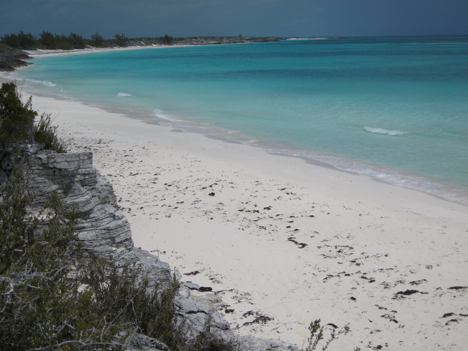
The Exuma chain splits your route in two. West of the cays lies the shallow Bank, and east of them lies deep Exuma Sound, which sits southeast of New Providence and Eleuthera and west of Cat Island1. This page helps you choose a side before you leave, as part of the boating guide.
How deep is the Exuma Bank compared with Exuma Sound?
The gap is enormous. Great Bahama Bank water is generally no deeper than 80 feet, and the slopes at its edges, such as the Tongue of the Ocean, fall away steeply6. Exuma Sound reaches a maximum depth of 6,699 feet1. Local fishing follows the same split: the shallower southern or western side on one hand, the deep water of the Sound on the other2.
| Exuma Bank | Exuma Sound | |
|---|---|---|
| Side of the chain | West / south | East |
| Depth | Generally 80 ft or less6 | Up to 6,699 ft1 |
| What it means for you | Draft and tide decide where you can go7 | Deep water; check the swell forecast for the cuts5 |
Which side should I run?
Three questions decide it: draft, tide and swell.
Draft and tide. The Bahamas tidal range is 2.5 to 3 feet, and charter guidance calls close attention to the tide “extremely important” when underway and when entering or leaving harbours7. Boats with deeper keels plan around it. One cruising crew on a 6.5-foot-draft boat reported in June 2026 that a couple of their anchorages could only be entered and left at high tide8. Take depths from a current chart and the tide table for the day, not from a guide page.
Swell. Bahamas Met’s bulletin of 17 October 2026 warned that swells would break heavily across reefs, cuts and harbour entrances, with seas of 7 to 11 feet on the Atlantic exposures of the Central and Southeast Bahamas even though local winds were only 10 to 15 knots5. Check the forecast for the side you plan to run and for every cut you plan to use. The weather windows page explains how to plan around fronts, and the page on cuts and tides in the Exumas covers how to read a cut before you commit.
Where you stop. Plan your crossings first, then build the days around them. Starting from Nassau? The Nassau to the Exumas by boat page gives the leg distances and times.
What does the Sound side look like inside the park?
You see it from the anchorages even when you never leave the Bank. At Warderick Wells, the trail to Boo Boo Hill looks over the island, the anchorage and Exuma Sound7. Shroud Cay has a beach and swimming hole on its ocean side7. In June 2026, a cruising crew with a dinghy explored the Exuma Sound side of Hawksbill Cay and Shroud Cay, reefs they normally cannot reach safely, and picked a calm, windless day to do it8.
Which park rules apply on either side?
The same park rules apply on both sides of the chain. Read the park rules and the anchoring rules before you arrive, and see the park fees and mooring fees page for what you pay.
Call “Exuma Park” on VHF channel 09 to reach the park office. It sits on a remote small island, so contacting it can sometimes be challenging3. Channel 16 is monitored 24 hours a day for emergencies, and the Bahamas Defence Force can be reached there3. The VHF channels guide lists the channels cruisers use across the chain. Exuma waters reward attention to reef locations and tides4.
Read next
Exuma cuts and tides: slack water, swell and when to run a cut
How to run an Exuma cut: tidal range, slack water, why swell matters more than wind, a Bahamas Met swell warning and the VHF channels to call.
boatingExumas weather for boaters: trade winds, cold fronts, swell and hurricane season
Exumas boating weather: hurricane season dates, how each source describes the trade winds, and how a cold front and its swell show up in a Bahamas Met bulletin.
boatingNassau to the Exumas by boat: distance, time by boat type and what it costs
Nassau to the Exuma Cays by boat: leg distances and times for power and sail itineraries, charter surcharges, the cruising permit and what to do on arrival.
Questions people ask
Where is Exuma Sound?
Exuma Sound is a body of water in the Bahama Islands. It lies southeast of New Providence and Eleuthera and west of Cat Island, on the deep side of the Exuma chain1.
What is the difference between the Exuma Bank and Exuma Sound?
Local fishing splits into the shallower southern or western side and the deep water of Exuma Sound2. Great Bahama Bank water is generally no deeper than 80 feet, while the Sound reaches 6,699 feet6,1.
Do tides matter when crossing between the Bank and the Sound?
Yes. The tidal range in The Bahamas is 2.5 to 3 feet, and the water is shallow enough that charter guidance asks crews to watch the tide underway and when entering or leaving harbours7.
Who do I call for help inside the park?
Call "Exuma Park" on VHF channel 09 for the park office. Channel 16 is monitored 24 hours a day for emergencies, and the Bahamas Defence Force can be reached there3.
Sources (8)
- Exuma Sound
Wikipedia · en.wikipedia.org · checked 2026-10-18 - Exuma (district)
Wikipedia · en.wikipedia.org · checked 2026-10-18 - Exuma Cays Land & Sea ParkBNT
Bahamas National Trust · bnt.bs · checked 2026-10-18 - Exumas Yacht ChartersOPERATOR
The Moorings · moorings.com · checked 2026-10-18 - Special Weather Statement, cold front update, 17 Oct 2026 (PDF)GOV
Bahamas Department of Meteorology · met.gov.bs · checked 2026-10-18 - Bahama Banks
Wikipedia · en.wikipedia.org · checked 2026-10-24 - Moorings Exumas eGuide 2026 (PDF)OPERATOR
The Moorings · assets.moorings.com · checked 2026-10-24 - Cruising North Through the Exumas on Our Nordhavn (video, 25 Jun 2026)
mv Explorado (YouTube) · youtube.com · checked 2026-10-24
Photo credits (1)
- cogdogblog / Wikimedia Commons · CC0 · source

Park fees and rules come from the Bahamas National Trust or the Bahamas government; check them again before you go. How we check facts.