Exuma anchorages by wind: trade-wind protection, swell and where park moorings apply
Exuma anchorages by wind: which spots shelter from the east-to-southeast trades, winter northers and westerlies, plus swell, current and park mooring rules.
Most Exuma anchorages sit behind cays that shelter them from the east to southeast trades, which blow from the northeast in winter and more from the southeast in summer1. Winter northers and westerlies are the problem, because few anchorages hide from the west2,3. Inside the park, use the mooring fields: anchoring there is not permitted4.
- At a glance
- Prevailing trades
- East to southeast1
- Winter and summer trades
- More northeast in winter, more southeast in summer1
- Trade strength, operator figure
- Averaging 10 to 20 knots5
- Anchoring in the park
- Not in mooring fields or on coral reefs4
- Customs anchorage fee
- Paid once per permit period6
On this page
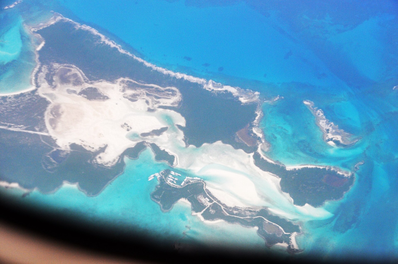
Wind decides where a boat is comfortable in the Exumas, and the right answer changes with the forecast. Most of the chain is a line of small cays with shallow banks to the west, so an anchorage that is perfect in a southeast breeze can be miserable twelve hours later. This page sorts the anchorages by the direction of the wind that threatens them, then covers swell, current and the park rules that replace your choice. Check the current forecast and a chart before you anchor.
What are the prevailing winds in the Exumas?
Consistent trade winds blow out of the east to southeast1.
| Condition | What to expect |
|---|---|
| Trade winds | Blow out of the east to southeast1 |
| Winter | The trades blow more from the northeast1 |
| Summer | The trades come more often from the southeast1 |
| Interruptions | Fall and winter cold fronts, and summer tropical disturbances1 |
| Strength | Averaging 10 to 20 knots, an operator figure and not a seasonal forecast5 |
The trades blow fairly steadily unless fall and winter cold fronts or summer tropical disturbances interrupt them1. Waterway Guide puts it from the sailor’s side: easterly winds in winter and southeasterly breezes in spring favor northbound sailing7. The weather windows guide shows how a front appears in a Bahamas Met bulletin.
Which anchorages shelter from the easterly trades?
Most of them. The majority of Exuma anchorages are located with protection from the easterly trades1, and the sandy patches along the west shores of the islands make good anchoring for exactly that reason3. The west side of the Exuma Bank keeps swell to a minimum even in fresh breezes1. The Exuma Bank or Exuma Sound guide compares the two sides of the chain.
| Anchorage | Sheltered from | Watch for |
|---|---|---|
| Warderick Wells, north field | Prevailing easterlies, most wind directions14 | Swell working in during strong northeast winds14 |
| Warderick Wells, south field | All-around, with the cay blocking westerlies15 | Northeast swell in strong trades15 |
| Cambridge Cay | Easterly winds; surrounding cays block wind and swell from nearly every quarter11,16 | Current changes that move boats on their moorings16 |
| Norman’s Cay, southwest coast | Prevailing easterlies17 | A shallow entry at Norman’s Pond, which shelters well16 |
| Bitter Guana Cay | Prevailing winds, with good holding16 | Occasional roll in south winds16 |
| Monument Hill, Stocking Island | Easterly winds16 | The busy marked shipping channel16 |
| Musha Cay | Prevailing easterlies, with good protection and a calm night18 | An uncomfortable chop in the south-to-north half of the compass18 |
Elizabeth Harbour at George Town is protected by mainland Great Exuma to the southwest and by long, narrow Stocking Island to the northeast19. Sand Dollar Beach is among the calmest corners of it, shielded by Stocking Island from ocean swell20. In the middle of Stocking Island an inlet called Hurricane Hole is where sailboats anchor for protection during storms21. The George Town and Elizabeth Harbour guide and the Stocking Island page cover the harbour in more detail.
Where do you go when a cold front brings northwest to north wind?
This is the wind that empties the easy anchorages. Winter northers can bring squalls and clocking winds, with lots of fetch over the shallow banks, and finding a spot with adequate protection can be challenging3. A north wind can occasionally blow hard, but there is always advance notice, and that is when everyone looks for a good lee8.
The anchorages that work in a front are the ones with land to the north:
- Halls Pond Cay is described as reliable shelter when northwest to north winds sweep through during cold fronts9.
- Square Rock Cay gives good protection from northerly winds in the lee of the island10.
- Sampson Cay, just north of the Bay of Pigs, offered perfect protection for a north wind to one cruising crew2.
- Cambridge Cay is described as protected from virtually every quarter11.
- Pipe Creek, just south of the park’s southern boundary, is a good, snug place to be in a blow, and Staniel Cay is only six miles away8.
Exposed anchorages tell you the other half. Shroud Cay is sheltered from the east but open to the northern quadrant22, and reports of how far its shelter extends disagree: one cruising blog says swell arrives as soon as the wind goes south of east23. Use Shroud Cay in settled easterlies and plan to leave before a front.
What if the wind goes west?
Plan on few good choices. There are few options in the Exumas to hide from a westerly2. Any mostly open anchorage in the Exumas has its best protection from east or north of east23.
- Emerald Rock mooring field can be rolly in west winds, and nearby sandbars break much of the fetch16,24.
- Little Darby Island is exposed to the west, north and south, so use it only in settled weather or on a confirmed easterly forecast25.
- Big Majors Spot is exposed to westerly weather systems26, although reports of its shelter in other directions disagree26,23.
- Lee Stocking Island has good protection except from westerlies27.
- Pipe Cay, northwest offers good protection from west and southwest28.
How do swell and current catch out a sheltered anchorage?
Wind direction is only half the story. Strong northeast winds can push swell into the Warderick Wells fields14,15, and Bahamas Met warned on 17 October 2026 that large northeast swells would break heavily across reefs, cuts and harbour entrances in the Exumas29. Read the bulletin for swell direction as well as wind before each leg.
Current moves boats in narrow places. Allen Cay’s narrow anchorage has strong reversing currents, and holding is good if you stick to the sandy areas3. Staniel Cay harbour has strong tidal currents that can make anchoring challenging30. In tight spots between islands, currents race through the cuts and a two-anchor Bahamian mooring may be necessary3.
Cold fronts test everyone at once. A crew filming in winter 2026 described fronts that regularly sweep the islands and turn a calm anchorage upside down for a day or two31. At a crowded George Town anchorage with over 300 boats, three boats dragged when a front arrived earlier than forecast31. Southern Boating’s hurricane-season advice for a boat that stays at anchor is to make very sure that the holding is perfect32. The hurricane season guide covers the season dates.
Where do you use mooring balls, and where do you anchor?
Few mooring balls are available in the Exumas, so be ready to anchor almost everywhere1. Mooring balls are mainly limited to those in the Exuma Cays Land & Sea Park, where well-maintained moorings sit around Shroud, Hawksbill, Warderick Wells and Cambridge Cays1,3. Inside the park, the rules decide for you.
Anchoring is not permitted in the mooring fields, on coral reefs and certain other designated areas within Exuma Park4.
All vessels, including dinghies and jet skis, must operate at idle speed in any mooring field or anchorage4.
The mooring fields guide and the anchoring rules page cover the park. Separately, Bahamas Customs charges an anchorage fee once for the whole cruising permit period, whether the permit runs 30 days, 6 months or 12 months6. The Boating the Exumas hub links the rest of the passage guides.
Read next
Anchoring in Exuma Park: where you can anchor, fees and speed rules
Where you can and cannot anchor in Exuma Cays Land & Sea Park: no anchoring in mooring fields or on reefs, idle speed rules, jet ski distance, fees.
boatingExumas weather for boaters: trade winds, cold fronts, swell and hurricane season
Exumas boating weather: hurricane season dates, how each source describes the trade winds, and how a cold front and its swell show up in a Bahamas Met bulletin.
parkExuma Park mooring fields: Warderick Wells North, Emerald Rock and Pirates Lair
Which mooring fields the Exuma Cays Land & Sea Park names, which ones need a VHF 09 call ahead, which are first come first served, and how to pay.
Questions people ask
What are the prevailing winds in the Exumas?
Consistent trade winds blow out of the east to southeast1. In winter the trades blow more from the northeast, and in summer they come more often from the southeast1. The Moorings describes them as steady, averaging 10 to 20 knots5.
What is the best wind direction for sailing in the Exumas?
Easterly winds in winter and southeasterly breezes in spring favor northbound sailing, so many crews power south first and sail home with the wind behind them7. The prevailing winter wind is southeast, which makes for calm sailing on the Bank side8.
Where do you anchor in the Exumas in a cold front?
Look for a lee on the side the wind is coming from. Halls Pond Cay is described as sheltered in northwest to north winds, Square Rock Cay in northerlies, and Cambridge Cay from nearly every quarter9,10,11. Winter northers can bring squalls and clocking winds with lots of fetch over the banks3.
Can you anchor in the Exuma Park mooring fields?
No. Anchoring is not permitted in the mooring fields, on coral reefs or in certain other designated areas of the park4. All vessels, dinghies included, must run at idle speed in any mooring field or anchorage4.
Sources (32)
- Exumas Cruising Guide: Our Favorite Bahamas Sailing Itinerary
Yacht Warriors · yachtwarriors.com · checked 2026-10-19 - When The West Wind Blows
Falcon's Nest (blog) · svfalconsnest.com · checked 2026-10-19 - Exumas Digital Edition (Southern Boating, Apr 2025, PDF)
Southern Boating · southernboating.com · checked 2026-10-25 - Exuma Cays Land and Sea Park Rules (PDF)BNT
Bahamas National Trust · bnt.bs · checked 2026-10-18 - Exumas Yacht Charters & Sailing VacationsOPERATOR
The Moorings · moorings.com · checked 2026-10-18 - Pleasure Vessel ClearanceGOV
Bahamas Customs Department · bahamascustoms.gov.bs · checked 2026-10-18 - Cruising Guide to the Exumas (Waterway Guide article, Southern Boating, 9 Jan 2025)
Waterway Guide via Southern Boating · boattest.com · checked 2026-10-25 - The Exumas Addict (Soundings, by Pat Mundus, May 2018 issue)
Soundings · soundingsonline.com · checked 2026-10-25 - Halls Pond Cay Anchorage: Guide
Sail Abacos · sailabacos.com · checked 2026-10-19 - Square Rock Cay Anchorage: Cold Front Protection
Sail Abacos · sailabacos.com · checked 2026-10-19 - Cambridge Cay Mooring Field: Anchorage Guide
Sail Abacos · sailabacos.com · checked 2026-10-19 - Exuma - Wikipedia
Wikipedia · en.wikipedia.org · checked 2026-10-19 - Musha Cay - Wikipedia
Wikipedia · en.wikipedia.org · checked 2026-10-19 - Warderick Wells North Mooring Field: Anchorage Guide
Sail Abacos · sailabacos.com · checked 2026-10-19 - Warderick Wells South Mooring Field: Anchorage Guide
Sail Abacos · sailabacos.com · checked 2026-10-19 - The Exumas - noforeignland guide (updated 19 Feb 2026)
noforeignland · noforeignland.com · checked 2026-10-25 - Norman's Cay Anchorage: Guide
Sail Abacos · sailabacos.com · checked 2026-10-19 - Musha Cay anchorage (Waterway Guide, snapshot 2025-12-06)
Waterway Guide · waterwayguide.com · checked 2025-12-06 - Elizabeth Harbour - Southern Boating & Yachting
Southern Boating & Yachting · southernboating.com · checked 2026-10-18 - Elizabeth Harbour Sand Dollar Beach: Guide
Sail Abacos · sailabacos.com · checked 2026-10-19 - Stocking Island
Wikipedia · en.wikipedia.org · checked 2026-10-18 - Shroud Cay Anchorage: Guide
Sail Abacos · sailabacos.com · checked 2026-10-19 - Exumas: The First Half
Fun on Holiday (blog) · funonholiday.com · checked 2026-10-19 - Emerald Rock Mooring Field: Anchorage Guide
Sail Abacos · sailabacos.com · checked 2026-10-19 - Little Darby Island Anchorage: Guide
Sail Abacos · sailabacos.com · checked 2026-10-19 - Big Majors Spot: Guide
Sail Abacos · sailabacos.com · checked 2026-10-19 - Lee Stocking Island Anchorage: Guide
Sail Abacos · sailabacos.com · checked 2026-10-19 - Pipe Creek: Guide
Sail Abacos · sailabacos.com · checked 2026-10-19 - Special Weather Statement, cold front update, issued 6 PM EDT Sat 17 Oct 2026 (PDF)GOV
Bahamas Department of Meteorology · met.gov.bs · checked 2026-10-18 - Staniel Cay Harbour: Guide
Sail Abacos · sailabacos.com · checked 2026-10-19 - The Reality of Sailing the Bahamas in Winter (video, 25 May 2026)
Sailing Atlas (YouTube) · youtube.com · checked 2026-10-25 - Hurricane Season in The Bahamas - Southern Boating & Yachting (June 2015)
Southern Boating & Yachting · southernboating.com · checked 2026-10-18
Photo credits (2)


Park fees and rules come from the Bahamas National Trust or the Bahamas government; check them again before you go. How we check facts.